

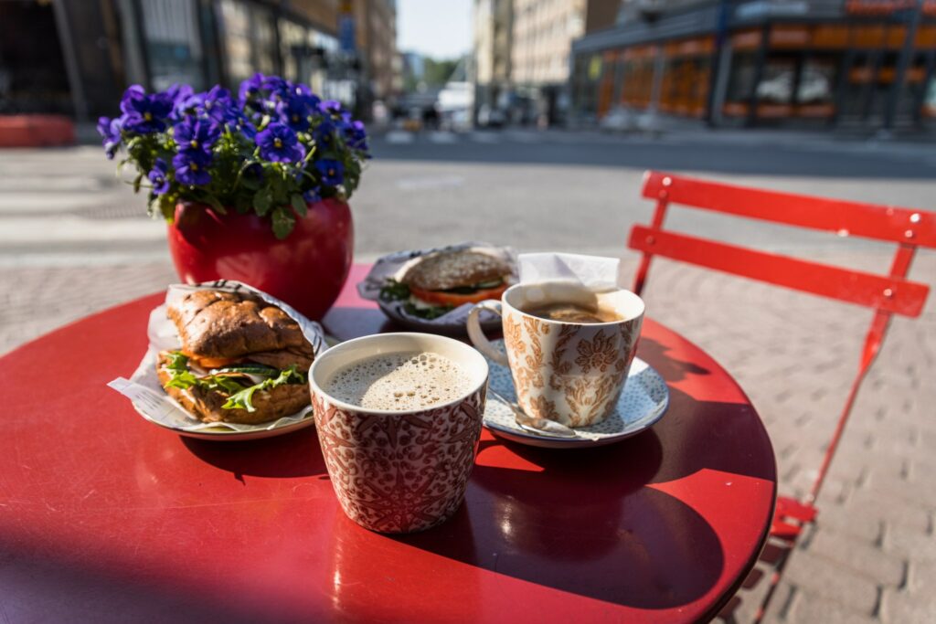
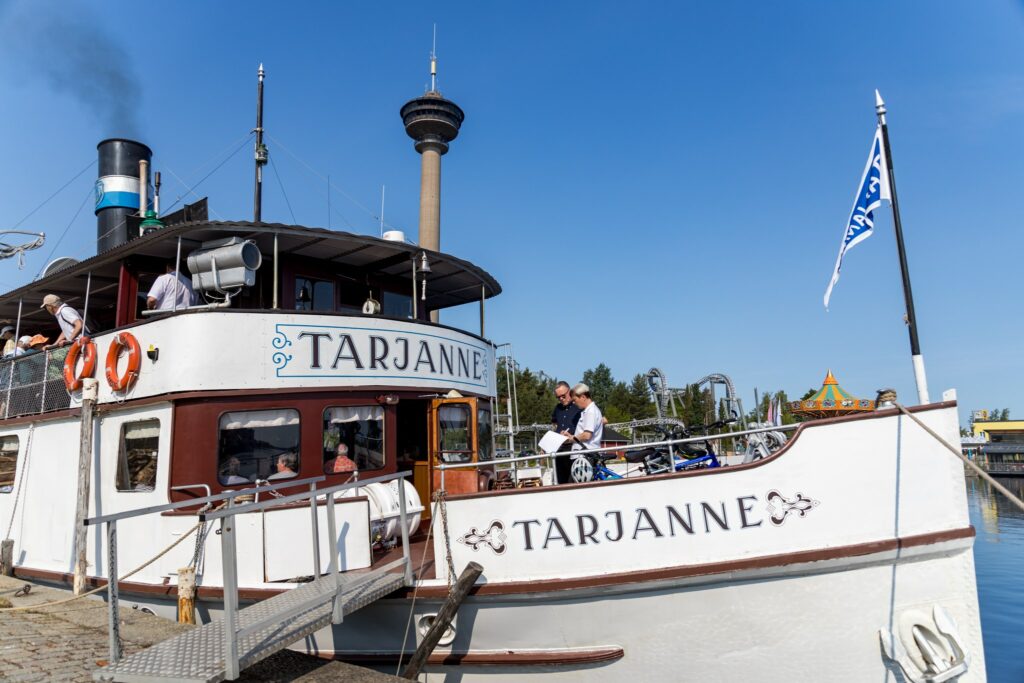
The bike tour kicked off at the Kaffila restaurant in Aleksis Kiven katu for breakfast. June had been rather cool, but halfway through the month, the mercury soared to summer temperatures. My colleague and I were heading for a Bike & Boat trip to Länsi-Teisko. After breakfast, we hopped on our bikes and pedalled to Mustanlahti Harbour, where the Tarjanne ship was waiting ready to depart, with cheerful passengers on board.
We led our bikes to the bow of the ship to join the others. The ship’s bell rang, and Tarjanne glided out of Mustanlahti Harbour, heading towards the Murole Canal. There were many other passengers aboard. The weather was perfect, and the company was excellent.
Aboard a legendary steamship to Murole Canal
During the two and a half-hour trip there is enough time to enjoy a delicious lunch while admiring the scenery of Lake Näsijärvi. Lunch must be booked in advance so that the ship’s staff can ensure an adequate supply of ingredients.
s/s Tarjanne is a legendary steamship built in 1908 and the last long-distance passenger steamship in Finland.
The various phases of Tarjanne are manifold: it served as a warship in World War II and participated in the rescue operations of the Kuru passenger ship in 1929 when it sank sank near Siilinkari.
Akseli Gallen-Kallela designed the restaurant on the upper deck, which was renovated in 1916. The route from Tampere to Virrat is called the Poet’s Way, referring to Johan Ludvig Runeberg. Runeberg lived in Ruovesi in his youth and wrote several of his well-known poems there.
Tarjanne arrives at Murole Canal, and we disembark. The ship continues its journey towards Virrat, but our adventure continues by cycling back towards Tampere. It’s around one in the afternoon when we hop on our bikes.
The temperature has risen to summer highs, and the sun shines brightly. Sunscreen, a water bottle, and sunglasses are essential in this heat. Our route follows along Muroleen kanavantie until we reach Karjulantie. Going downhill on Karjulantie is enjoyable, although the speed and steepness also add to the thrill.
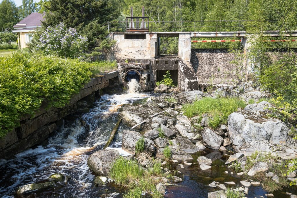
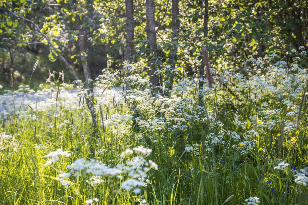
Logs floated through Karjulankoski
We stop at Karjulankoski for a short break to stretch our legs. In the 1950s, logs floated down the river from Karjulankoski to Näsijärvi. The 3,5-kilometre Kuttuniska trail is a circular route that starts from the dam at Karjulankoski.
Karjulankoski is located close to the center of Kuru. We ride along Pikisaarentie, which changes to Virastotie at the intersection. Turning right onto Kauppatie, we find ourselves in the centre of Kuru. Kuru was founded in 1867. Originally Kuru belonged to Ruovesi and in 2009 Kuru merged with Ylöjärvi.
In the centre of Kuru, we stop at a local store to eat some ice cream. The scorching summer day necessitates frequent short breaks for staying hydrated and preventing the risk of sunstroke or heatstroke. The water bottles need to be refilled, so we head to the water distribution point of the Kuru fire station on Virastotie. We have cycled about 13 kilometres from Murole Canal to Kuru, and there’s at least another similar stretch ahead, if not a bit more.
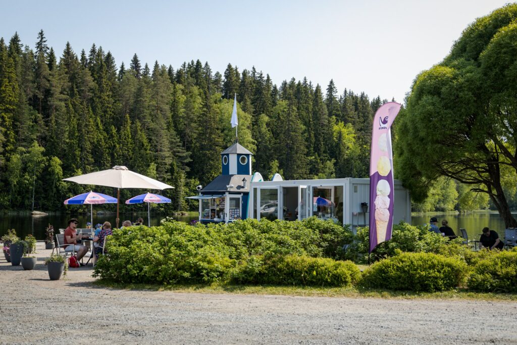
As we cycle along Virastotie, we pass Satamatie and notice beach flags. Riding downhill toward the harbour, we notice a cafe with people on its terrace enjoying the summer day. The harbour also has a public restroom.
It’s better to continue our journey to stick to our schedule. Sweat is pouring, and the heat can be felt all over the body. I’m starting to regret not renting an electric bike.
Plans change
From the centre of Kuru, we continue our journey along main road 65. I haven’t cycled much along such a busy road before, so I focus on staying on the safe side of the road.
We regularly take short hydration breaks and study the map. Due to the prevailing conditions and our schedule, we decide to continue along the main road longer than the Näsi-route of the Lake Trails directs. The Näsi-route turns off main road 65 towards Pappilankylä to pass closer to Näsijärvi.
We continue along the main road until we reach and turn onto Piuharintie, road 3313. The smaller gravel road has less traffic, but the terrain varies a lot – uphill, downhill. I notice myself wishing we were already there, but there are still over 10 kilometres left. We take a longer break at Vähä-Pökkölöinen and sit down in the shade of the trees.
Interrupted journey
From Piuharintie, we turn onto Pengonpohjantie, which we cycle for a good distance before turning onto Honkalantie. The destination (Rönnin Tupa) is not far anymore, but the Länsi-Teiskontie gravel road is so potholed that the chain comes off my bike. My colleague and I try to put it back in place, but the cover in front of the chain is firmly in place, and we don’t have any tools with us. We call the “rescue team” to pick us up, as cycling turns into walking my bike for me.
Learning is a lifelong process
As I sit in the car, I review what we have seen and experienced during the 40 kilometres we covered, realizing that this trip was the longest distance I’ve ever cycled in one go. The heat and the blazing sun made the journey particularly challenging, and in hindsight, I would think twice whether it’s worth heading out in similar conditions, at least when relying solely on muscle power. I would also better equip myself – more to drink and some kind of tools should definitely be brought along.
All in all, even though the plan didn’t go exactly as expected, the trip was memorable and educational. Now I can also appreciate the Pirkan pyöräilijät (Pirkka cyclists) more, especially those pedalling uphill on Karjulantie 😉


